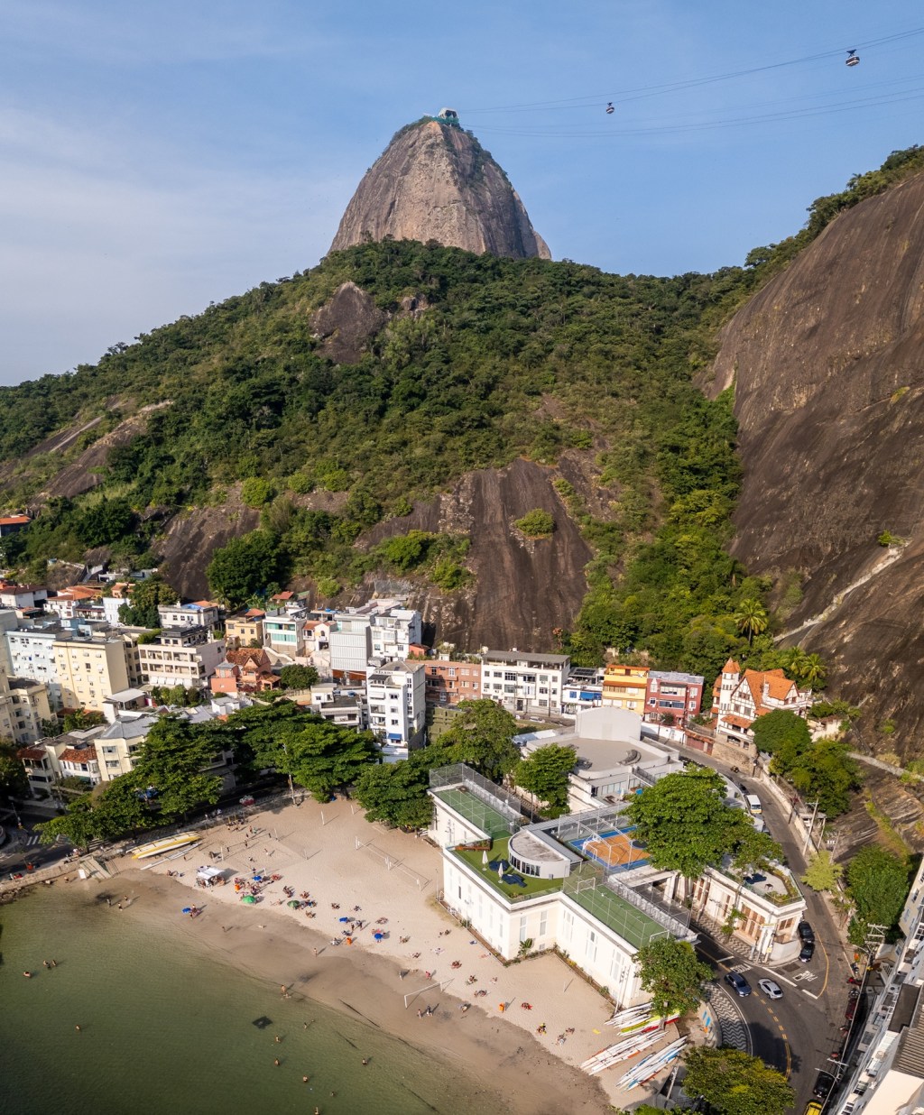
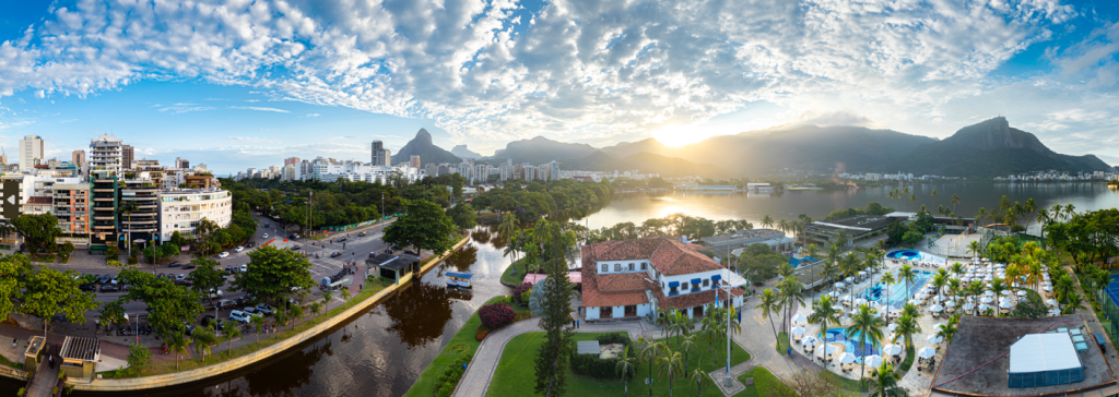
So I’m in Rio for six weeks during the southern hemisphere winter. I kinda like it as it means less chaos, fewer tourists and more beautiful skies with a softer light and lower humidity/temperature. Perfect to plan shoots.
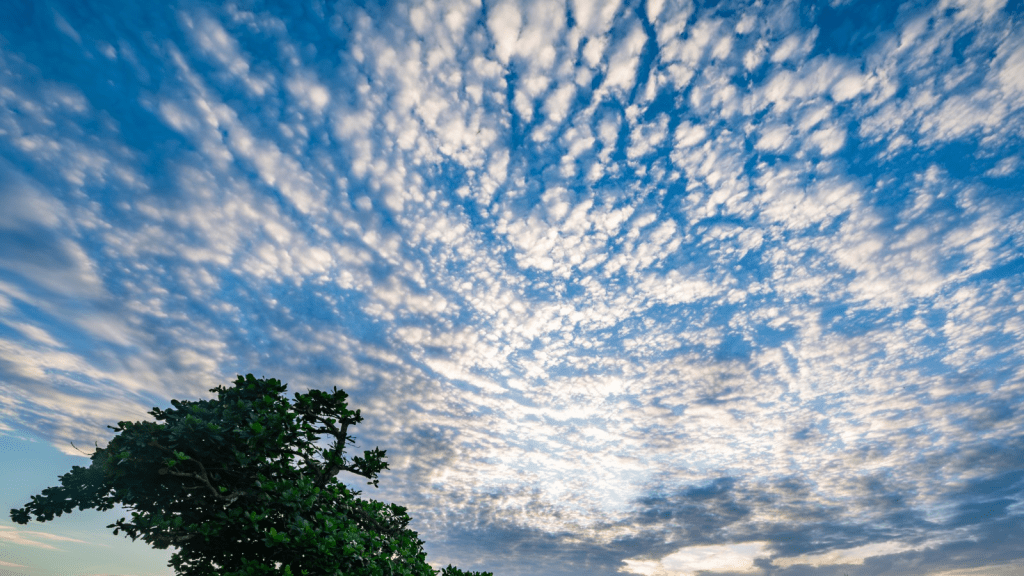
Wish it could say like this all year.
The Concept: Sugarloaf at Sunrise
In this post, I’ll walk you through an upcoming shoot I’ve had in mind for ages: Sugarloaf Mountain at sunrise from Praia Vermelha, photographed both with a drone and a mirrorless camera, including the fantastic 150-600mm telephoto.
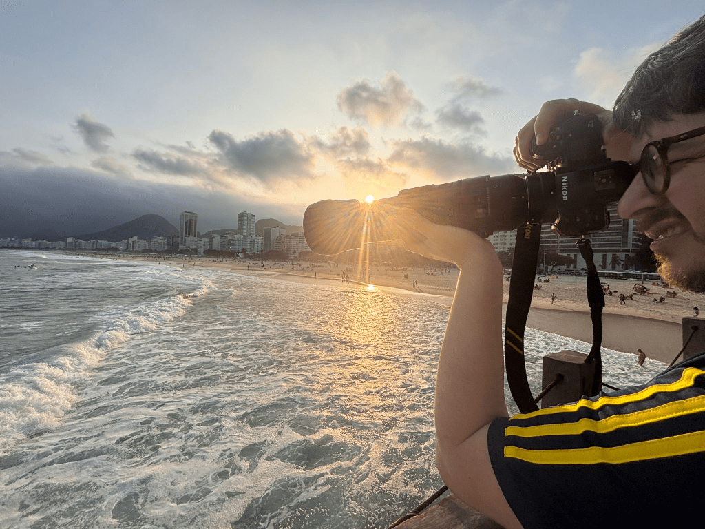
This is not the final shoot report yet. This is the planning stage, the part many stock photographers skip. In fact, it’s probably the most important part especially if one intends to fly with the drone.
Once I’ve done the shoot, I’ll share the final results, probably in my month-end report. This will include the mistakes, the keepers, and whether it was actually worth waking up at an offensive hour.
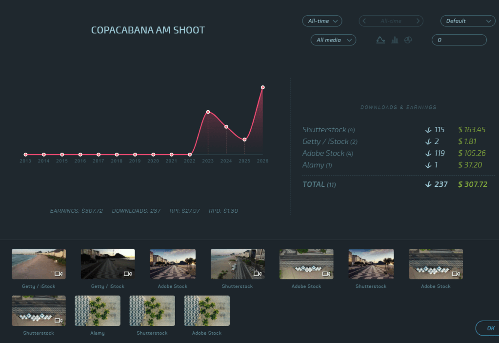
The precedent is good since last time I did this type of shoot the clips/pics sold really well.
Then I grabbed a hearty breakfast with lots of tropical fruits. It was a good day.
The Concept: Sugarloaf at Sunrise
First some stock research. A quick search on Pond5 yields some interesting results, but most are quite mediocre/poor.
The goal is to capture a mix of:
- Regular 10-15 second clips
- Panoramas
- Drone top-downs for book covers
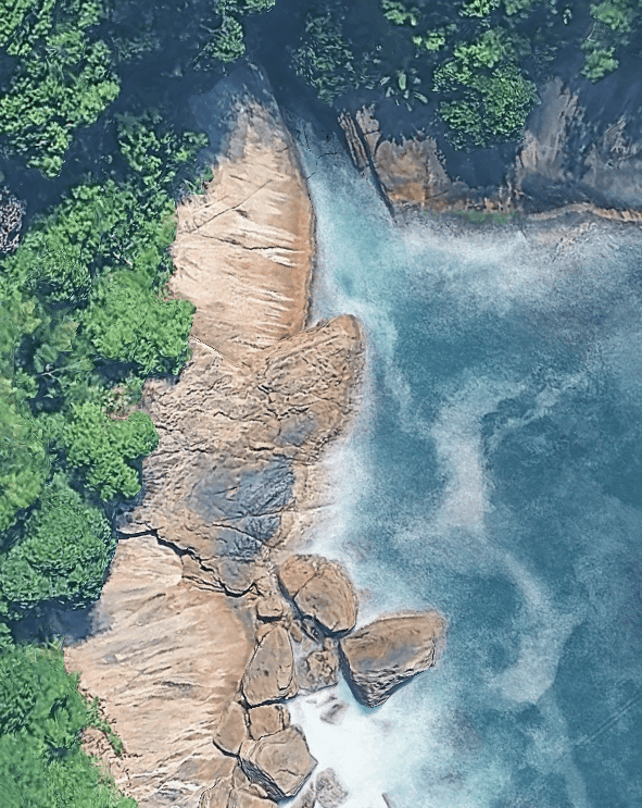
- Atmospheric backlit scenes
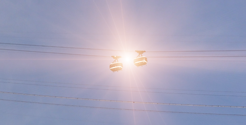
The challenge, as always, is to find angles, light, mood and framing that make the images commercially useful.
Also be on the lookout for Jaws from James Bond.
Introducing LightTrac
To plan the sun position, I use a paid iPhone app called LightTrac.
There are several apps that do this kind of thing, but LightTrac, recommended by my good architecture photographer, Joas Souza, is simple and does what I need: it shows where the sun will rise, where it will travel during the day and how the light will hit the location.
There’s a useful explanation of how LightTrac works in this video from around minute 9:00:
For this shoot, I simply enter the location and the planned date. The app then shows the direction of sunrise and the path of the sun across the sky. You can plan shoots months in advance.
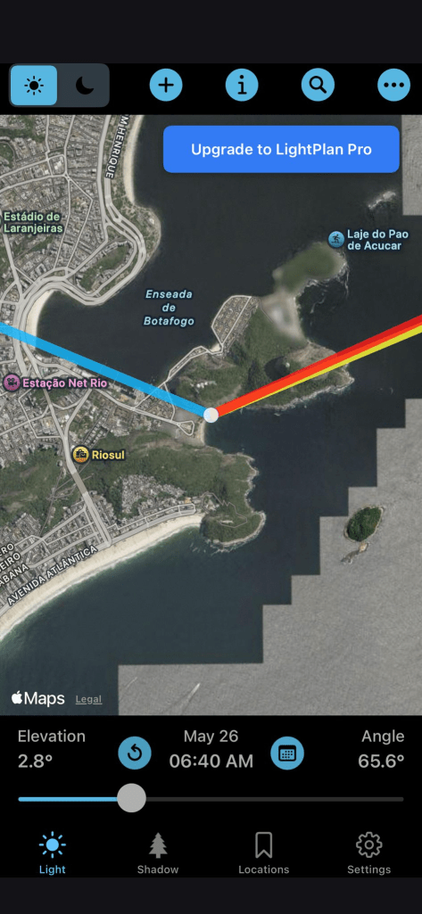
So this means bright and early for me at 6:20am at the location to catch my worm. Last time I did this in Copacabana about three years yielded some fantastic returns.
Drone Planning: Always Check the Maps for Restrictions
Now comes the less romantic part: drone restrictions.
This area of Rio is not exactly the middle of nowhere. Urca is close to military installations, heliports and Santos Dumont Airport (actually right on the flight landing/take-off path). So the drone side of this shoot needs to be planned carefully.
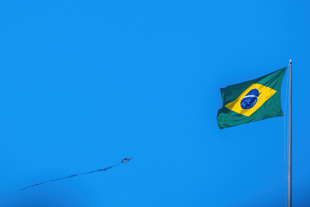
The first rule is obvious: stay well clear of military areas and any restricted zones.
But that may not even be the main problem.
Brazil needs to catch up
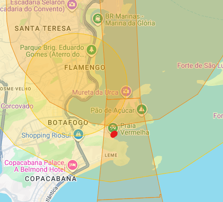
Brazil does not make this as simple as some countries with clear, user-friendly public drone maps. So I’ll also be checking the DJI maps, local rules, airport proximity and any unlocking requirements before flying.
According to DJI’s map, the area appears to fall within a 60m altitude zone, due to the proximity to Santos Dumont Airport. It is also marked as an Enhanced Warning Zone, which may require unlocking using a local phone number. DJI no longer requires operators to send in documents to unlock zones.
I’ll also make sure the Return-to-Home altitude is set below the permitted altitude limit. I’ve learned that lesson before 😦
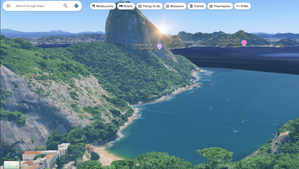
Scouting the area using Google Maps
One of the best parts of modern shoot planning is how many useful tools are free.
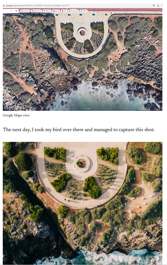
Google Maps is still one of the most underrated stock photography planning tools, combined with LightTrac. Before even visiting the location, I can already study. A tool that I’ve been using for years and wrote about it on here.
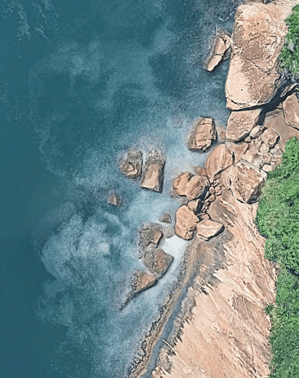
From above, the area around Praia Vermelha has a lot of potential: tropical vegetation, curved beach lines, paths, rocks, water, and strong natural shapes.
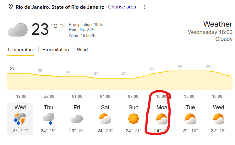
Checking the weather forecast
I think I’ll do it on Monday 1st of June, to start off the month on a productive note.
Final Thoughts Before the Shoot
The point of this post is not just “look, I’m going to photograph Sugarloaf.”
The point is to show the planning process behind a commercial shoot: choosing the subject, checking the light, studying the location, thinking about drone restrictions, scouting compositions and deciding in advance what kind of images might actually sell. Then grabbing a great breakfast and blogging about it all.
I’ll report back after the shoot with the final results, including what worked, what failed, and whether the images have any real commercial potential.
Special monthly report coming soon
I hope this planning walkthrough was useful for your own workflow.
Next, you’ll hear from me on YouTube, where I’ll be putting together a special earnings + stock industry news report, in the legendary Hugo Kurk style, in his quest to achieve $100k+ earnings in stock in 2026 – Microstock Drone.
Expect tiny sales numbers, complaints, sarcasm and possibly a small amount of useful information.
Stay tuned.
About Alex
I’m Alex, eccentric, based in Lisbon, and on a mission to explore every corner of the globe while capturing stock images and footage along the way.
For the past 12 years, I’ve been grinding as a travel photographer/videographer and freelance writer. Along the way I’ve also written The Brutally Honest Guide to Microstock Photography, a book packed with war stories and practical tips for anyone crazy enough to enter this business and more recently, The Brutally Honest Guide to Drone Laws in Europe.





Leave a Reply